Powered by OpenStreetMap
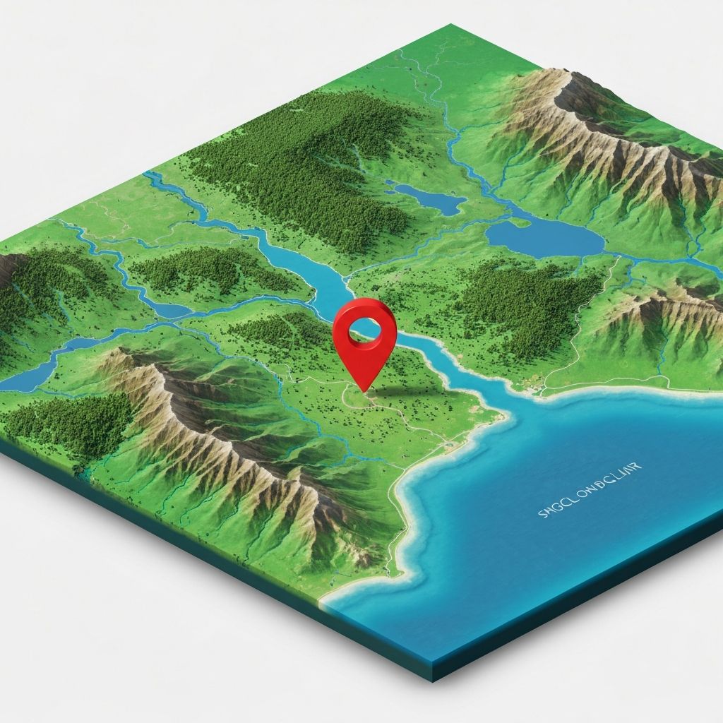
Is my coordinate
on land or water?
A simple, fast API that lets developers easily answer the question of whether any latitude and longitude coordinate is on water or land.
High-resolution data
OpenStreetMap
Simple API, Powerful Results
Send a latitude and longitude,
get back instant JSON.
1,000 free credits on signup. Pay as you go from there. See pricing details.
Request
curl -G 'https://api.isitwater.com/v1/locations/water' \
  -d 'latitude=41.9029192' \
  -d 'longitude=-70.2652276' \
  -H "Authorization: Bearer YOUR_API_KEY"
Response
{
  "request_id": "0e56c6d8-1cd3-499a-b21f-b676e5395239",
  "water": true,
  "features": [
    "ocean"
  ],
  "latitude": "41.9029192",
  "longitude": "-70.2652276"
}
Simple, Pay-As-You-Go Pricing
No subscriptions. Buy credits when you need them.
1,000 free credits on signup
Starting at $1
for 2,500 API calls
- No monthly subscriptions
- As low as $0.15 per 1,000 calls
- Credits never expire
- Optional auto-recharge
Get in Touch
Questions or feedback? Reach us at [email protected]
Free access available for non-profits, educational institutions, publicly-funded research, and other cool projects—let us know about yours.